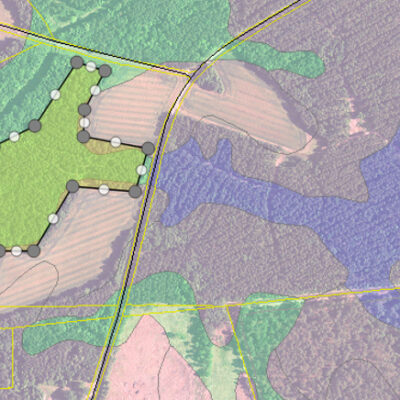
Geospatial Services
Unlocking the “power of where” for each unique client need.
As an ESRI Business Partner, Sewall stands in the gap between clients’ needs and the complexity of the world’s leading Geographic Information System technology. We design, build, and operate GIS solutions that address the workflow and data management challenges our clients face.
Our Geospatial Services include:
- Consulting: Providing expert advice and strategic planning to optimize geospatial data usage and integration.
- Geodatabase/GIS Development: Developing and maintaining geodatabases and GIS systems to support robust data management and analysis.
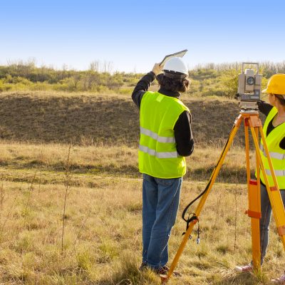
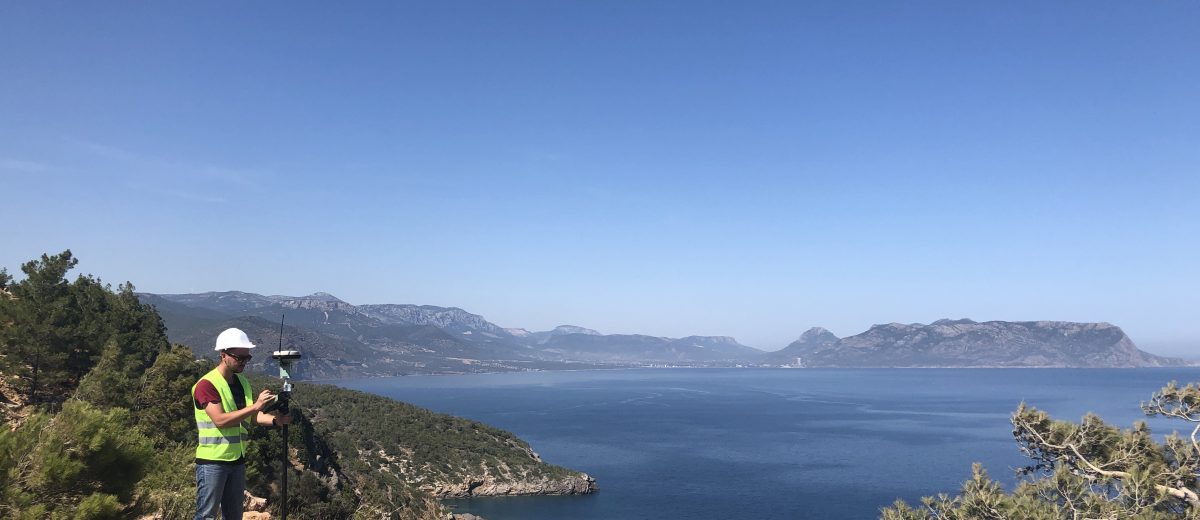
- Field Collection and Verification: Conducting precise field data collection and verification to ensure data accuracy and reliability.
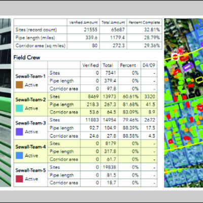
- Spatial Data Analytics and Reporting: Analyzing spatial data to generate insightful reports and visualizations that support decision-making.
- Custom Application and Dashboard Development and Hosting: Developing and hosting customized GIS applications and dashboards to streamline data access and analysis.
- Asset Management/Site Minder: Implementing geospatial solutions for efficient asset tracking and management, including our Site Minder service.
- Geospatial Training and Support: Offering training programs and ongoing support to help clients maximize their GIS investments.
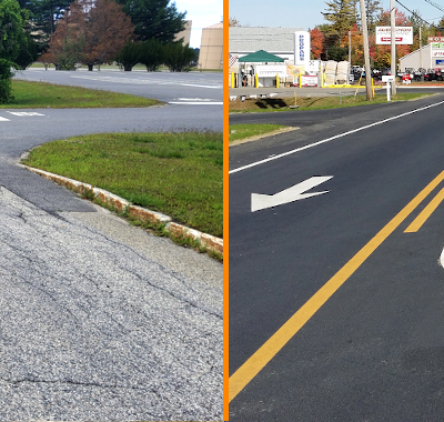
Drone Services
Drones are transforming the methods by which civil engineers can survey, map, and monitor development and construction sites. They can provide high-resolution aerial imagery and 3D representation in less accessible areas quickly, accurately, and inexpensively.
Drones can be used for:
- Site Monitoring: includes time interval assessments for construction progress, encroachment, and area
- Inspection Support: imagery, video, and data collection to support utility, infrastructure, building maintenance, natural resource, construction, and safety sectors.
If location matters to you, we can help!