Field Data Acquisition Report
Continuing the Sewall tradition of applying geospatial solutions to support our clients’ data acquisition and processing efforts, Sewall introduces its Mobile Verify solution.
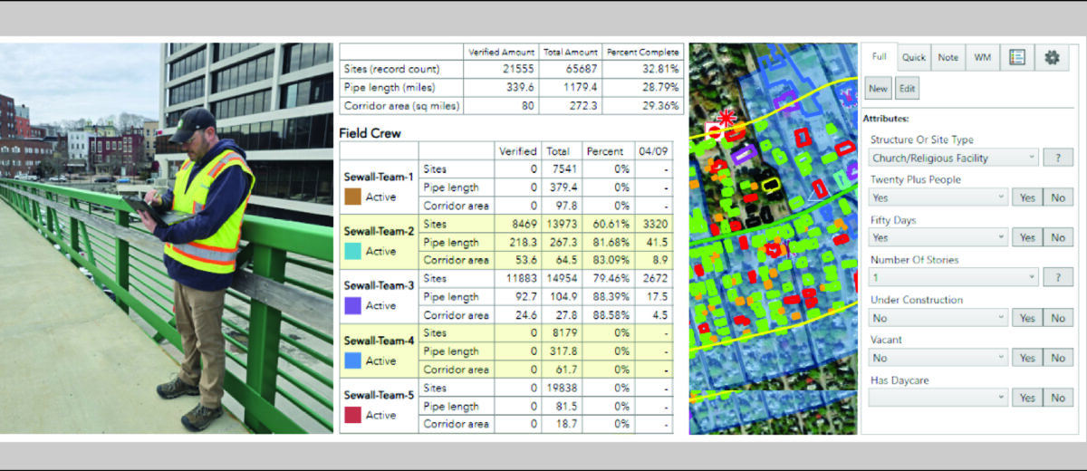
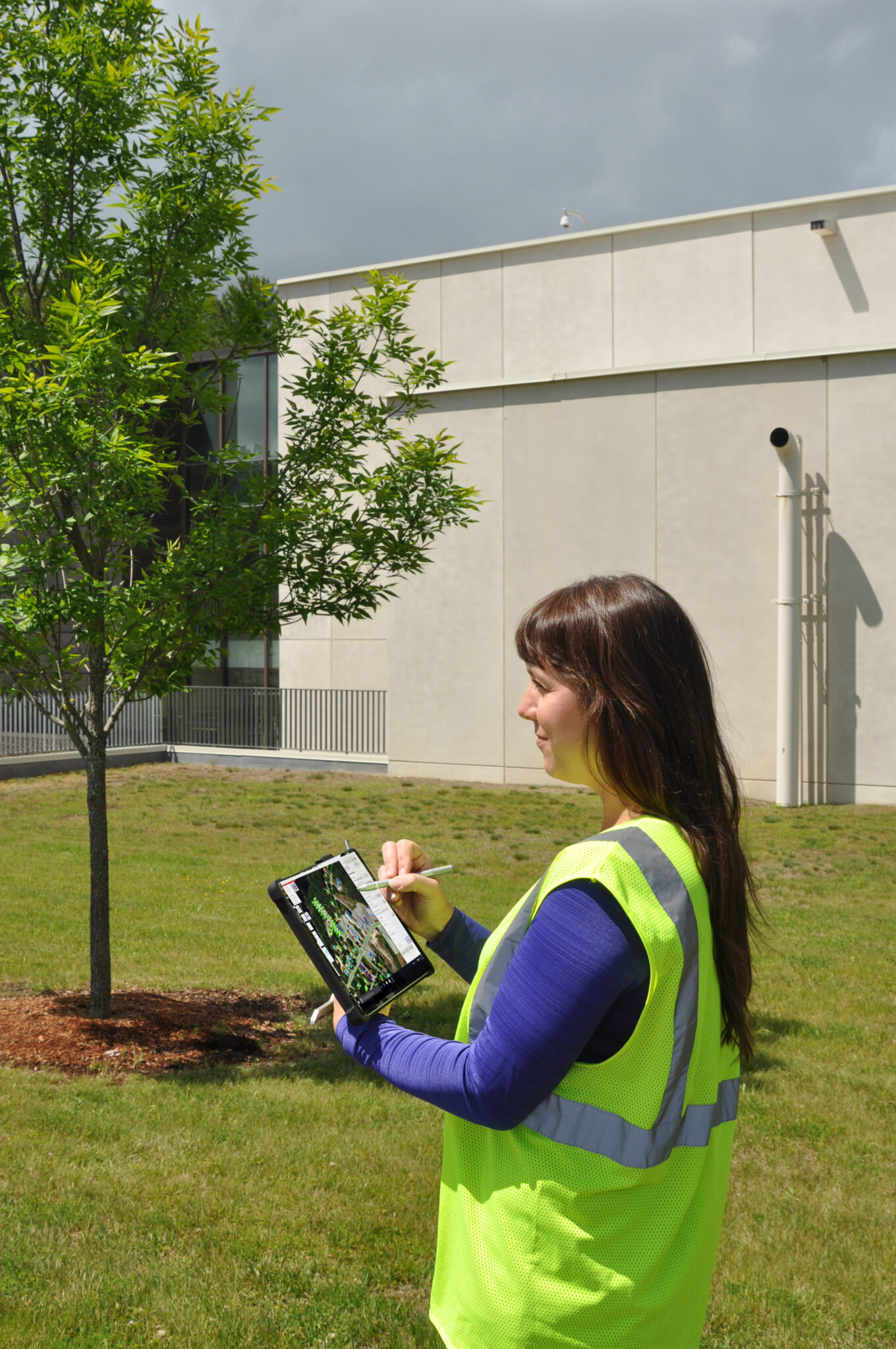
Mobile Verify provides a digital platform to capture asset information in the field and post that information to database records in a single step, improving the currency of spatial data without the need for additional processing.
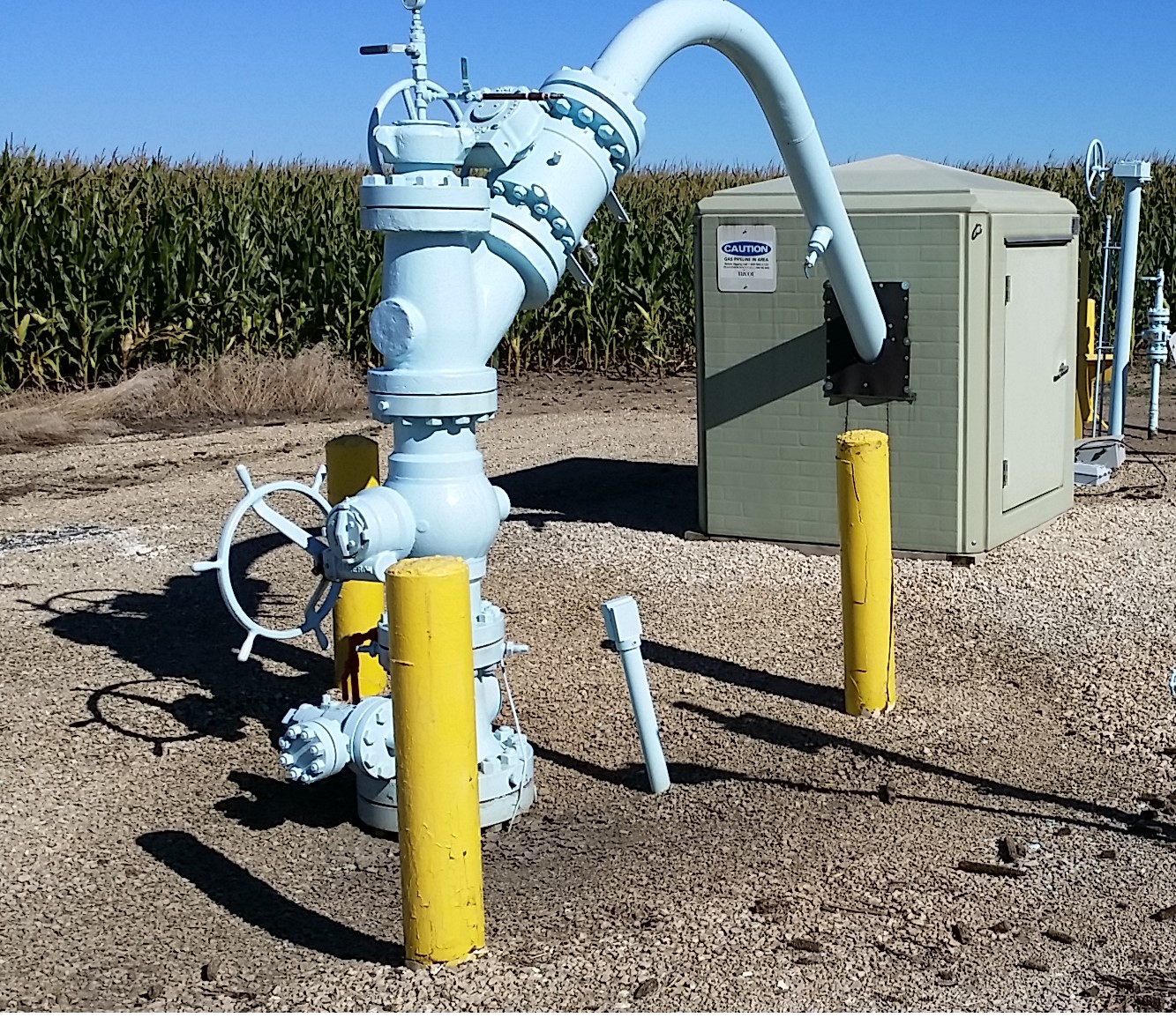
Initially adapted for conducting field surveys of natural gas pipeline corridors, Mobile Verify applies tools for validating existing buildings and outside areas, as well as capturing new records.
Feature-driven forms provide a standard mechanism for field staff to follow rules for data validation. Mobile Verify uses GPS location and work tracking features to manage placement and updating of GIS record items.
Mobile Solution
Built upon the latest Esri technology, the platform consists of a mobile field application and hosted web service components.
The field component provides a mobile solution that allows the operator to work disconnected and then sync with the hosted database when internet connectivity is available.
A web viewer displays published data from the hosted server database, offering a mechanism for managers to monitor progress of field crews and facilitate work assignments.
Flexible Architecture
With its flexible design, Mobile Verify can be adapted to enhance other field-based workflows. Sewall welcomes the opportunity to demonstrate its capabilities and discuss how it can be tailored to meet specific needs.