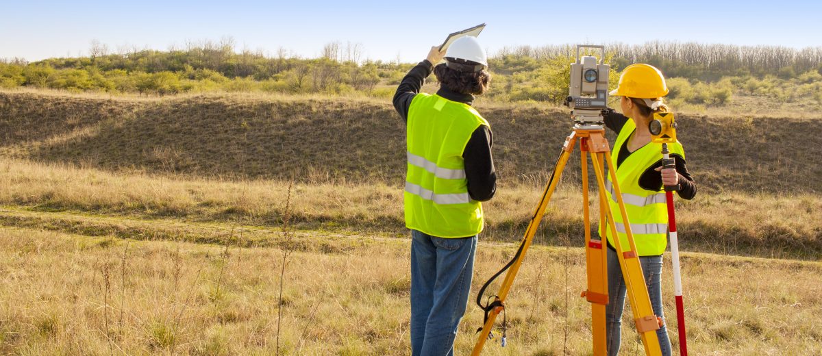
Surveying
The oldest surveying firm in Maine, Sewall has conducted boundary surveys and produced topographic mapping for private and commercial landowners, business and government organizations, and utilities since 1880. Our team utilizes traditional methodologies and advanced technologies to collect the prolific data detail required to provide the accurate mapping our clients have come to expect.
Standard Survey Collection Products and Services
- Boundary Surveys
- ALTA Surveys
- Title Review
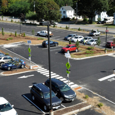
- Topographic Mapping
- Volume Calculations
- Hydrographic Surveys
- Ground Control for Aerial Imagery Acquisition
- Construction Staking and Layout
Drone Advantages, Services, and Products
Sewall offers high-quality aerial imaging, surveying, and inspection services via UAV/Drone.
The Drone Advantage
- Accuracy
- Versatility
- Real-time comprehensive data
- Site accessibility & minimal interference
- Data density
Drone Products
- Accuracy is less than 1cm vertical and 5cm horizontal.
- Orthomosaic Imagery – 3-Band (RGB) data is collected and imagery produced before other requested products/services
- Vector Data – point, line and polygon GIS data extracted from imagery to locate features.
- Full-color Point Cloud – 3D representation created from drone images collected, forming a detailed digital map.
- Contours – create accurate topographic maps exhibiting the “lay of the land”
- Digital Surface Model (DSM) – 3D visualization of a given area’s surface. Useful in planning, environmental management, disaster assessment and change detection analysis.
- Volume Calculations – accurately determine material volumes for defined areas of interest.
Additional Services
- Site Monitoring – includes time interval assessments for construction progress, encroachment, and area
- Inspection Support – imagery, video, and data collection to support utility, infrastructure, building maintenance, natural resource, construction progress and safety sectors.