What is Remote Sensing and What are its Applications?
By Katie Moran, Remote Sensing Analyst
Thanks to the growing popularity of personal drones, people may be more familiar with remote sensing than they might think. Remote sensing—at its simplest level—is the act of gathering information about an object without touching it. Most commonly, however, remote sensing refers to collecting images or heights of objects from a distance, either from space using satellites, from the air using aircraft, or from the ground using a camera or terrestrial laser scanner. In this post, we will refer to remote sensing as it occurs overhead from air or space.
Unmanned Aerial Vehicles (UAVs) and small Unmanned Aerial Systems (sUAS), collectively “drones,” have popularized the ability to survey areas that may otherwise be prohibitive to cover on foot. Remote sensing methods predating drones include satellites and manned aircraft, which are still popular and valuable today. The various collection methods each have their advantages and disadvantages. Remotely sensed data from manned aircraft and satellites can cover larger areas than drones, but generally at a loss of spatial resolution, or how fine the level of detail is for the collected data. Satellite imagery is advantageous for long-term monitoring since the sensor repeatedly orbits over the same locations, and both public and commercial imagery sources are increasingly accessible. Using satellite imagery also does not require the flight planning and deployment efforts of aerial collections, but it is restricted to its orbit pattern and subject to obscured images from clouds. Aerial sensors generally offer more flexibility in timing and resulting products but come at a cost of increased staff hours or contracted rates. Choosing the right remote sensing method for a project requires a comprehensive assessment to find the most efficient approach that provides the necessary data to meet the project objectives.
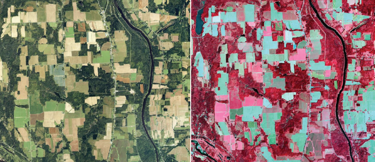
Remote sensing data generally fall into two categories: pixels and points. Pixels refers to raster products, in which the data is stored as pixels in a grid. Remote sensors can collect images using visible, non-visible, or a combination of visible and non-visible spectral bands. Visible, or natural color, images are user-friendly for visual interpretation and generally have the finest detail. Non-visible bands, however, can be incredibly valuable for gathering information not yet apparent to the naked eye, like plant stress, which is indicated by light being reflected from plants in varying ratios. Points refers to the specific location of an object, on both the horizontal and vertical planes, and are collected in clouds, most notably using Light Detection and Ranging (LiDAR) scanners. Points can also be created through a process called Structure from Motion (SfM). SfM takes overlapping images, generally from drone or aerial imagery, and feeds them into software that identifies duplicate features between images and triangulates them to obtain relative height and positions. SfM point clouds serve as a cost-effective alternative to LiDAR for a number of applications.
Remote sensing and its associated technologies—image analysis, computer vision, machine learning—are constantly advancing and the future is bright for widespread applications. Many industries can benefit from remote sensing, including agriculture, renewable energy (biomass), forestry, and utilities. These uses will be explored in greater depth in future posts.