Potholes and Frost Heaves Again This Year?!?
by Laura Teisl, GIS Analyst
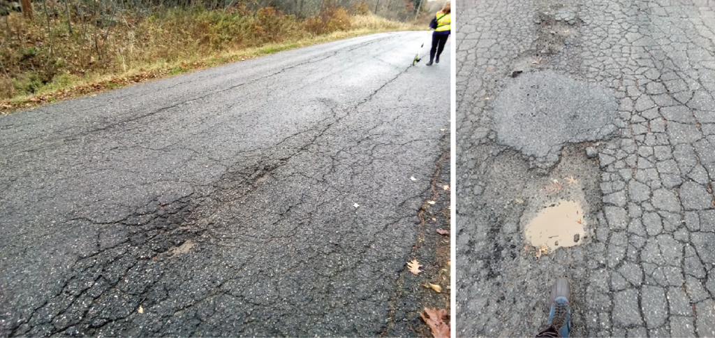
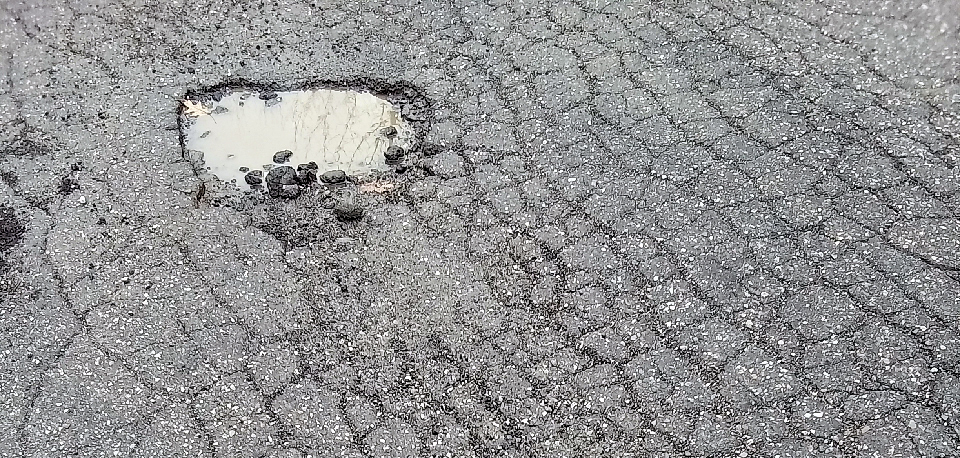
Winter is harsh on Maine roads. With limited funding available each year, municipalities struggle to select which roads to repair from a list with more roads in bad condition than good. Fix the torn up, pothole laden roads to keep complaints down? Throw some skim coat on the edges of the heavily used main roads so they make it through one more winter?
Large towns and cities often use high speed data acquisition surveys to assess road conditions, a solution that is too expensive for most Maine towns. Sewall designed Better Roads, a road assessment engineering service and GIS application, specifically with small to medium sized municipalities in mind.
When populated, the application takes over the burden of deciding how and when to repair roads by using historical and predictive modeling to anticipate the deterioration rate of each road. “Keep good roads good,” is the mantra embraced by many public works directors and that theory is incorporated into the road assessment study and final maintenance plan available in the Better Roads application. This plan then can be used to show taxpayers how and where their tax dollars are being spent.
Data Collection
Sewall engineers manually assess a road network through rigorous visual inspections using a condition rating system based on a proven Maine Department of Transportation technique that is both repeatable and analytically based. Ratings of road conditions are performed at quarter mile or half mile intervals, with supporting field images taken at every rating location. Best of all, Sewall’s geospatial experts enter the data into the application for you, saving staff time and effort.
Maintenance Plan
Using the field collected data, Sewall engineers develop a recommended maintenance plan that maximizes the lifespan of each road, allowing for an efficient allocation of resources and optimization of maintenance strategies.
Better Roads GIS application
The road assessment analysis and recommended maintenance plan are available on the Better Roads application. A municipality accesses their customized application using Sewall’s secure gateway. The application includes interactive GIS maps of the road network symbolized by maintenance category, several charts of road assessment data, the ability to explore all field collected data/images and generate reports, and more.
Following the recommended maintenance plan is the best way to optimize road repairs and your municipality’s funds. But the reality is that municipalities face unplanned financial and scheduling restrictions. The Better Roads application is flexible and allows the creation of multiple alternative maintenance plans. For each plan, users can change the recommended repair year of each road section. When the repair year changes, the repair costs also change as Sewall engineers have calculated and applied a deterioration rate for each road section. Users can also edit the unit repair costs and apply an inflation rate to an alternative maintenance plan to view how inflation impacts repair costs.
As part of this service, municipalities receive a subscription to Esri’s ArcGIS Online service that may be used for GIS tasks beyond Better Roads. For municipalities who want to delve into GIS, ArcGIS Online is an excellent platform to get started. Finally, this is an affordable way for small and medium sized towns to take advantage of engineering and GIS services to address road repairs analytically. Spring is the perfect time to address roadway needs and incorporate Sewall’s Better Roads service into your plans.