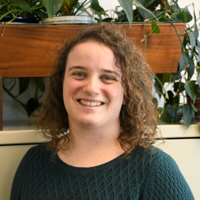
Ms. Moran joined Sewall in February 2023, bringing strong remote sensing and data science skills to the team. She holds a Master of Science degree in natural resources from UNH, where her graduate thesis involved using unmanned aircraft systems (UAS) to survey forested areas for understory invasive plants. Most recently, she worked as a GIS programmer analyst for Maine DOT, where she initiated and managed an image classification and data science model to help achieve federal road safety standards.
Her interests outside of work include running, skiing, gardening, cooking, and attempting home improvement projects.
Education
M.S., Natural Resources, University of New Hampshire, Durham, New Hampshire
B.A., Biology, Geoscience minor, Hamilton College, Clinton, New York
Year Joined Sewall
2023
Experience
Sewall, 2023-Present
Data Scientist/Remote Sensing Analyst
Responsibilities include providing geospatial analyses and image processing for natural resources and utilities projects, expanding data science frameworks, and creating quality mapping products using drone technologies.
Katie is proficient using Python, ArcGIS Pro, ArcGIS Online, QGIS, R, ERDAS Imagine, eCognition, Pix4D, and machine learning software packages. Her spatial data science skills encompass modeling and automation; image segmentation and classification; accuracy assessment; unmanned aircraft systems (UAS); and point cloud processing.
Maine IT/Department of Transportation, 2019-2023
GIS Programmer Analyst
Responsibilities included maintaining and expanding Python- and SQL-based spatial data processes for the GIS Application Development team; creating Python programs to transform, value add, and derive new data layers to run on scheduled refreshes; designing, testing, deploying, and improving datasets and web applications in collaboration with DOT user clients; scripting updates to layers on ArcGIS Online using ArcGIS API for Python; and developing a parallelized image classification model as part of a comprehensive data review system with accompanying ESRI mobile and web apps.
Rhumbline Maps, 2020-2021
Freelance Remote Sensing Specialist
Created landcover maps from aerial imagery to support a cartography project for natural resource monitoring. Wrote Python scripts to batch process and classify raster datasets using QGIS and open-source packages.
University of New Hampshire, 2017-2019
Teaching Assistant
Led laboratory classes in Field Survey Methods with a focus on forestry, from sampling to statistical analyses. Taught computer-based sections of Intro to GIS, reinforcing GIS fundamentals through ArcGIS-based projects.
30 Mile River Watershed Association, 2015-2017
Program Coordinator
Managed seasonal staff and volunteers in water quality monitoring and invasive aquatic plant detection. Planned, implemented, and data stewarded a new water sampling effort across seven lakes. Wrote grants, fundraising appeals, and various outreach materials to convey mission and needs of organization.
