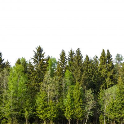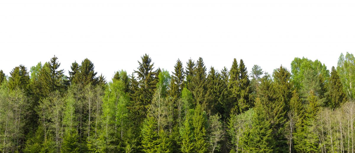
Forestry
Sewall has worked in the forestry and natural resource sectors since its inception in 1880.
Markets and sectors served:
- TIMO/Institutional/REIT
- Private Investor
- Forest Industry
- Environmental NGO
- Public
Services Include:
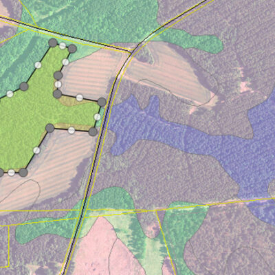
- GIS consulting
- GIS application development and hosting: Design and development of browser-delivered or mobile-device based applications that are map-centric
- Land and forest cover type mapping
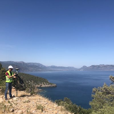
- Survey
- Remote sensing (satellite, aerial and drone)
- Commissioned imagery, LiDAR/point cloud collection, and orthophoto production
- Image processing and analysis
- Custom mosaicking of satellite imagery
- Classification, change detection, stand age, harvest activity, statistics
- LiDAR and point cloud analyses (canopy height modeling, structure metrics)
- Data analytics and management for existing forest inventory, GIS, and planning systems
Software-as-a-Service
WoodPro: GIS Software-as-a-Service for Wood Procurement
A customized geospatial application to support wood procurement personnel, track vertical inventory, and build competitive intelligence