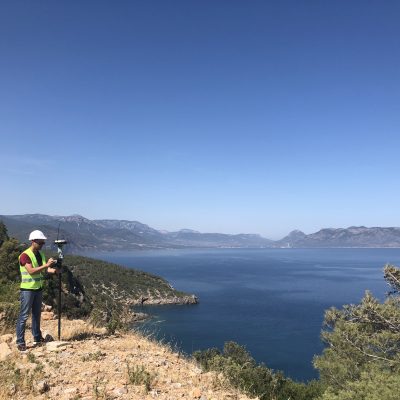
Justin has been solving complex geospatial problems for Sewall since the turn of the century. In his current role as the director of geospatial services, he supervises geospatial division staff while also working closely with clients to develop custom solutions. These solutions utilize his knowledge regarding needs assessment, geodatabase schema design, data development, data analysis, custom scripting, and application design.
He honed his convergent thinking practices in college at the University of Maine, completing his BS in Chemical Engineering in 1999.
During his downtime, he enjoys the occasional hike, a good book, all manner of games, and making noise with his electric guitar. Justin lives in Brewer with his loving wife Pam and their ever-present cockatiel, Twinkie.
Education
B.S., Chemical Engineering, University of Maine
Year Joined Sewall
2000
Experience and Representative Projects
Sewall, 2000-Present
Director Geospatial Services
Rockport, Maine. Designed, configured, and deployed a GIS field collection application supporting a transportation parking study conducted by Sewall Engineering.
Cenergy, Maine. Led the process development and acquisition of drone orthoimage and one-foot contour products for eight solar farm sites.
AGL Services Company/Southern Company, Atlanta, GA. As project manager, Mr. Mugnai oversaw the setup and management of field verification and data analysis of 1200 building locations across the states of Georgia, Tennessee, and Illinois. Additionally, he performed training for staff as well as data QA\QC prior to delivering data to the client.
GIS Analyst
Enfield, Maine. Coordinated a pavement assessment study to evaluate and document the current conditions of the roadways in Enfield, Maine. Mr. Mugnai developed the field data application and translated data post field work. Mr. Mugnai worked directly with Sewall engineers to produce a prototype web enabled dashboard to assist Enfield with budgetary and road repair planning.
City of Atlanta, Georgia. Assisted in geocoding production work and QA/QC tasks for street centerline and addressing services for the City of Atlanta Public Safety’s wireless implementation project. Created street centerline and address point layers to represent more than 400,000 physical addresses, providing geocoding capability for the E-911 mapping system. Responsibilities included training technicians, creating and documenting the street centerline process, maintaining and regulating workflow, exporting data into MapInfo and .SHP file formats, and fielding questions for all phases of the project.
GIS Technician
NSTAR Electric & Gas Corporation. Assisted in production work and QA/QC tasks for update and infill of landbase and addressing services for the natural gas utility business unit of NSTAR. Responsibilities included analysis of digital tax map formats to conform to ArcGIS standards, creation of address and landbase data utilizing a client provided customer database, training technicians on project specific parameters and optimization of QA/QC procedures.