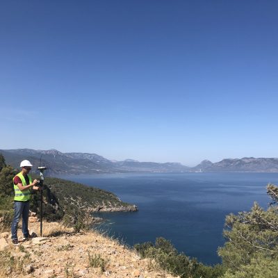
Nathan Gurney has a BS in Surveying Engineering and an MS in Spatial Information Science and Engineering from the University of Maine. Before working at Sewall, he worked as tech support at the University of Maine and did his master’s project on displaying genetic properties in DNA using linear measuring systems. He began working at Sewall in 1996 as a Survey Technician and later became an Analyst.
He is a key member of the software development team and works on developing different types of applications ranging from web-mapping sites to desktop GIS programs. Nathan has experience programming in Java, CSS, HTML, C#, JavaScript, Python, and many more.
In his spare time, Nathan enjoys editing OpenStreetMap and was ranked #28 out of all mappers based on the number of objects mapped between January 1st, 2012 and March 29th, 2013. He lives in Milford with his wife, two daughters, a cat, and an excitable dog.
Education
MS, Spatial Information Science and Engineering, University of Maine
BS, Surveying Engineering, University of Maine
Year Joined Sewall
1996
Experience
Sewall, 1996-Present
Geospatial Software Developer/GIS Systems Analyst
American Tree Farm System (ATFS). Assisted team to develop web-based application and database system to support forest certification workflows, enabling efficient data management and reporting for sustainable forestry practices.
– Java, ArcGIS Maps SDK for JavaScript, SQL Server
Timberland Investment Resources (TIR). Engineered GIS tools and spatial data workflows to support timberland investment analysis.
– Python, ArcPy, ArcGIS API for Python, ArcGIS Online
WoodPro. Contributed to the development of Sewall’s SaaS platform for wood procurement professionals, enhancing market intelligence and operational efficiency.
– JavaScript, C#, ArcGIS Maps SDK for JavaScript, ArcGIS Enterprise, PostgreSQL
MobileVerify. Built mobile GIS applications for field verification, supporting disconnected workflows and real-time dashboard monitoring.
– C#, ArcGIS Maps SDK for .NET


